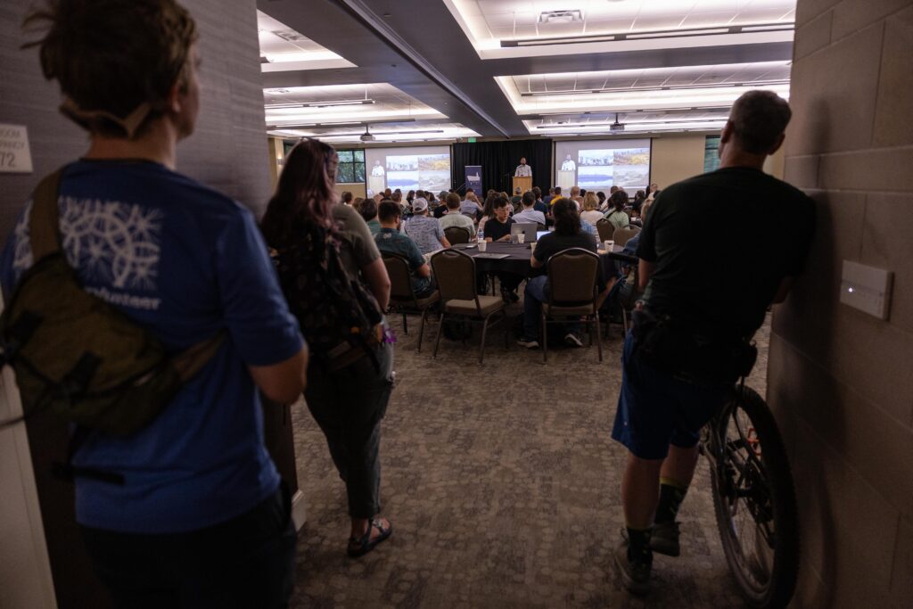
State of the Map US is a special conference; it’s a convergence of like-minded open-data and mapping enthusiasts who are friendly, grounded, funny, diverse, and inspiring in how they utilize OpenStreetMap (OSM) data. There’s a high risk you’ll find a new long-term friend as you participate in a scavenger hunt throughout the city or as you both decide to micromap a local park.
In the Fellowship team, our bread and butter is OSM in the Mapping for Equity project. From teaching OSM to our Fellows, to adding Mapillary footage to support OSM mapping, to validating our Fellows’ and event participants’ data–it’s the centerpiece of how we introduce civic engagement, data, and how to advocate to make our communities better. We believe that by getting more people to use and contribute to open data resources like OpenStreetMap (OSM)— we can document critical information about our communities that anyone can use to engage, advocate, legislate, and beyond.
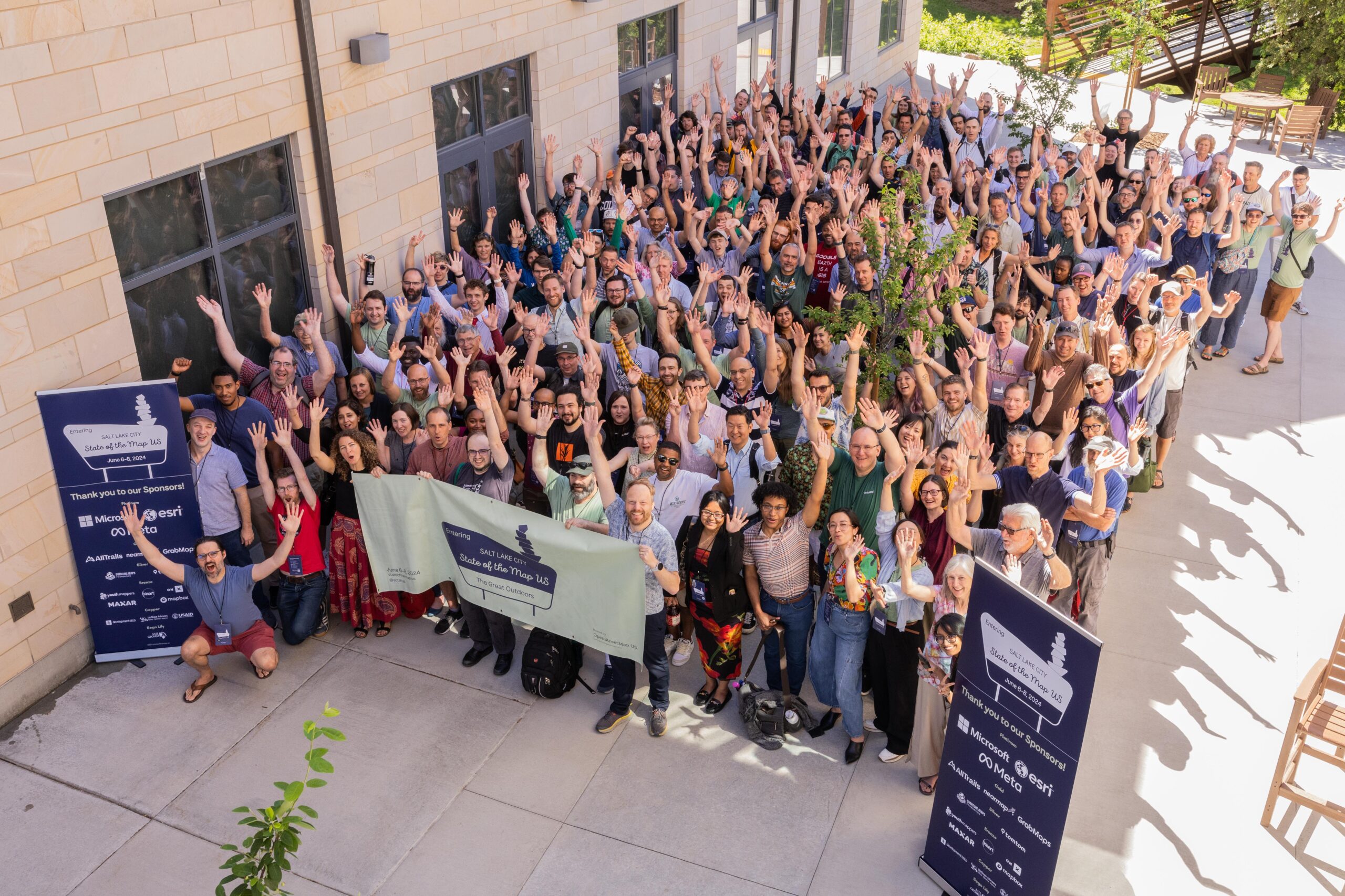
For the first time in BetaNYC history, the entire Fellowship Team attended State of the Map US, hosted in Salt Lake City. It was everyone’s first time visiting Salt Lake City, to boot! We learned about impressive projects using OSM, including those focused on pedestrian mapping, utilizing Artificial Intelligence (AI) to expedite mapping processes, and mapping historical and climate-related data. Furthermore, we found many parallels between these projects and how we leverage OSM in the Mapping for Equity project. Buckle up as we recap the highlights of projects related to pedestrian mapping, AI, and historical and climate data.
Pedestrian Mapping
Pedestrian mapping was a frequent topic at State of the Map, highlighting the importance of mapping people-first features. Here’s a recap of a few of our favorites.
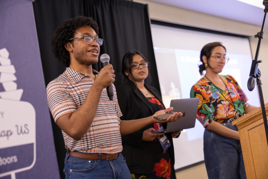
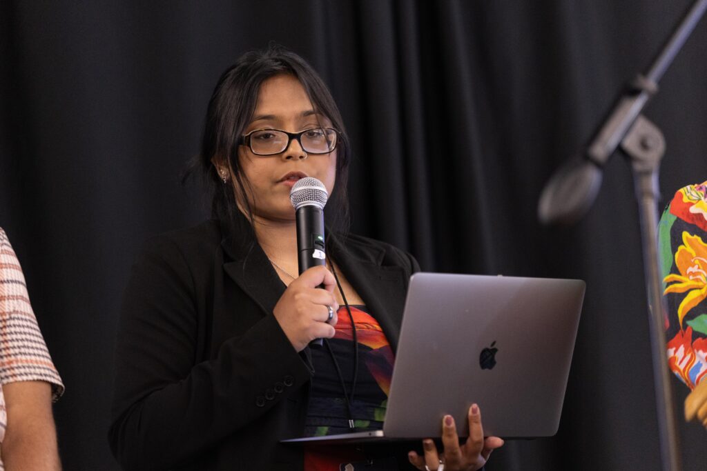
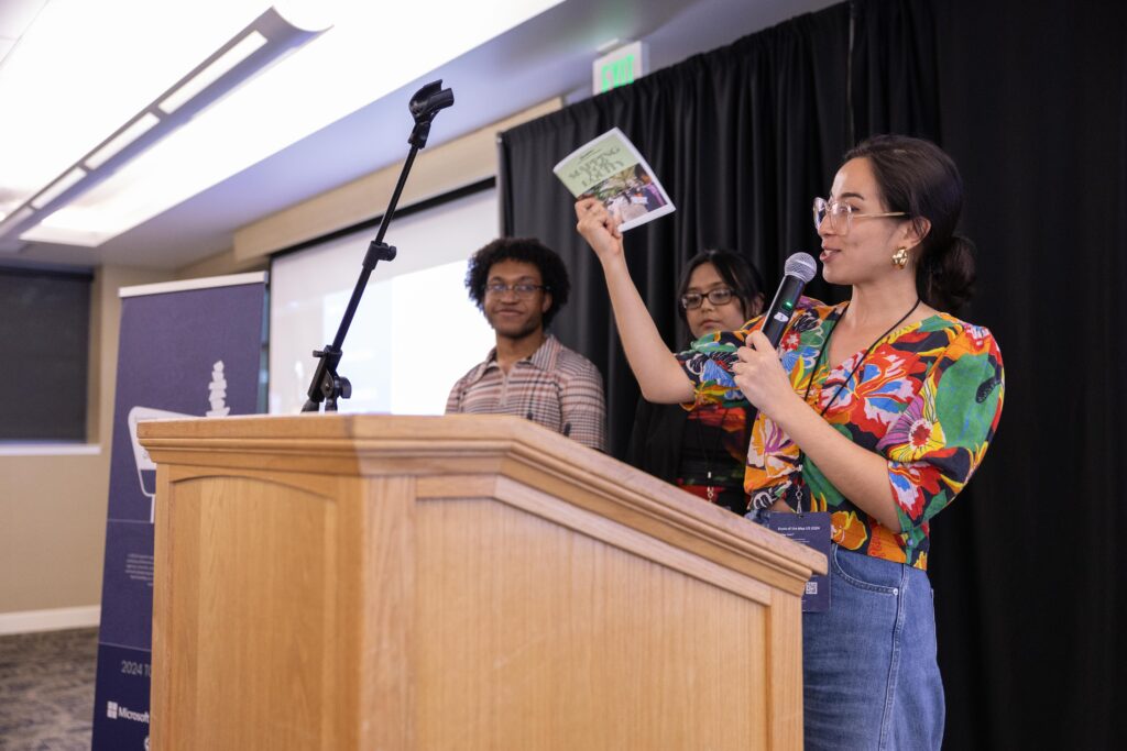
- Mapping for Equity Project Update: How BetaNYC’s Fellows Map the Public Realm by Jazzy Smith, Naeema Haque, & Dimitri Mimy
This was BetaNYC’s second time giving a talk at SOTM US (check out last year’s talk here), and this year, we presented an update on our growing comprehensive public space data playbook that empowers community organizations and individuals to collect and analyze public realm data through mapping. Our Fellows have helped us map over 5000 features and nearly completed mapping all of North Brooklyn’s parks, playgrounds, and public housing! We shared our outreach strategies on how we want to pass on this work through avenues such as our curriculum and event toolkit, to our zine, and our (soon launching) sizzle reel.
- OSM Network Verification using Ground-Level Video and Aerial Orthoimages for Pedestrian Ways by Daniel Hunsaker and Nawin Saravanan Kumaresan

Daniel Hunsaker and Nawin Saravanan Kumaresan, graduate students at the School of Civil Engineering at Georgia Tech, presented incredible research on creating a deployment program within the Georgia Department of Transportation that mainly studies ADA accessibility by looking at routing around transit stops and bus stops. They ultimately want to create an app for ADA users to use to get around the county with the goal of developing a comprehensive pedestrian infrastructure network within the study area. They used many data sources to measure accessibility, one strategy was capturing wheelchair video data. Within all these technologies that are introduced, they are going to be able to provide all the steps anyone would need for any municipality to kind of implement this within their own community.
- Not just a pipe dream: scaling up OpenStreetMap validation by Wille Marcel & Marc Farra
Our newfound friends, Willie and Marc, at developmentSEED presented their exciting new OpenStreetMap data pipeline for OSMCha, improving its validation technology. With a live demo of their new project Gradient, they highlighted the innovative real-changesets technology that boosts data quality and validation, making data integrity smoother for developers. OSMCha is an essential tool for us to comprehensively validate our fellows’ mapping so more updates can only benefit projects like ours and mappers alike.
Artificial Intelligence (AI)
A continuing thread through various talks was the integration of artificial intelligence (AI) into OpenStreetMap and its diverse applications, and we were captivated by these diverse possibilities for improvement and moderation.
- Workshop: New AI Cameras for Effortless Data Capture by Alex Ilisei, Philipp Kandal, & Steve Coast*
GrabMaps began from its founder’s experience of feeling unsafe getting rides in Singapore (an experience all too universal) and has since evolved into Southeast Asia’s leading map app. It offers hyperlocal location data and advanced map-making technology. With new 360-degree cameras, including automated and AI technology, drivers can now participate in gig-mapping, collecting fresh imagery on their bikes and in their cars. As contributors to Mapillary (another 360 imagery platform), it was delightful to hear the methodology of street-level capture on the other side of the world!
- HOT Technology, on overview of where we are today and our ambitions for tomorrow by Leah Phondt, Paul Uithol
In their presentation, Leah Phondt and Paul Uithol of the Humanitarian OpenStreetMap Team discussed the possibility of integrating AI as a tool to record human signs of life in crisis zones among other similar contexts, with a human presence to review AI-generated outputs, which could be genuinely life-saving to many of our most vulnerable.

- Discerning Undeclared AI-Generated Data in OpenStreetMap by Francis Andorful
As concern grows around the moderation of AI on public platforms, PhD student and researcher Francis Andorful has remarkably identified a seemingly distinct pattern or “footprint” of AI-generated activity on OSM that can be used to identify undefined AI inputs to the map–which in some municipalities is now unlawful. Such a footprint may help identify and regulate AI activity on our favorite open-source platforms.
Climate and Historical Mapping
Maps were proven timeless through talks and workshops on mapping geographical changes throughout time – yes, we can map the past too! With global warming, mapping these changes becomes vital for understanding the climate crisis and our planet’s future.
Words to describe Jordan Smith’s keynote speech were moving, analytical, and critical. Our team couldn’t help but text each other across the table just to say how impressive his insights were on what makes a place a place and how context is critical to understanding a place. In his talk, he discussed how participatory GIS can enhance the management and conservation of public lands in the United States. He emphasized the importance of involving local communities, stakeholders, and the public in the decision-making process by utilizing GIS technology. This participatory approach democratizes data and ensures that management practices are more inclusive and reflective of diverse perspectives.
- Workshop: New to OHM? Mapping America’s Shrinking Glaciers by Jeffrey Meyer*
Did you know you can map the history of glaciers? We did not! In this workshop, Jeffrey Meyer introduced us to OpenHistoricalMap (OHM) and showed us how we can use a range of OSM tools to map change in a geographical location over time. Though not landforms, glaciers are important features to map as they become a part of history because of warming temperatures. Through research and iterative mapping, you can map some glaciers on OHM too!
Conclusions
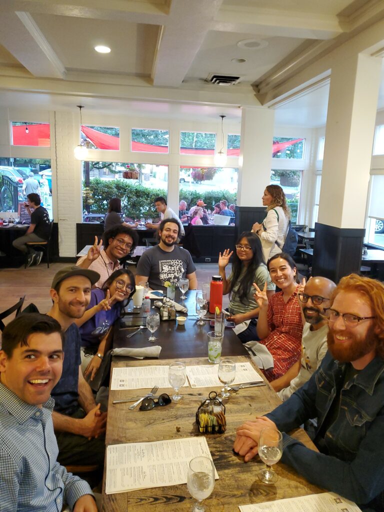
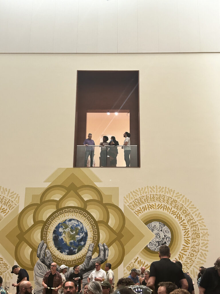
The Fellowship team left Salt Lake City tired and inspired as we jetted off on our 5 AM flight after a conference full of talks and festivities. Our takeaways cannot be contained! New insights on how we can better teach OSM continue to unfold as we reflect on State of the Map US in Salt Lake City.
Being community enthusiasts, map enthusiasts, and civic advocates, we can’t help but think about what and who determines a place: it’s quality of life, access to amenities, name, history, and beyond. Nothing is more valuable than finding people who understand the power of representing and essentially creating place. We are grateful to OpenStreetMap US for granting us scholar awards–we would not have been able to attend as a team without them! Big shoutouts to Maggie, Nellie, and Quincy. Thank you to Jyotsna Budideti, who invited Jazzy, our Director of the Fellowship, to speak at Birds of A Feather: Women in Geospatial alongside Susanne Schroeder-Bergen and Camilla Green. Jazzy shared in an unconventional form–a love letter to NYC, which detailed how much we need to preserve this place for the people who live here, for the most vulnerable, and for our humanity. How do we even begin to tackle these issues? We start by adding a point to the map.
*Workshops were not recorded