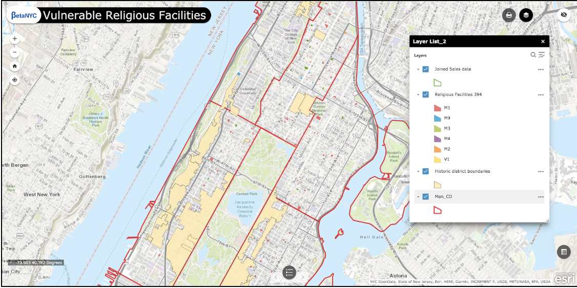
Description
The Vulnerable Religious Facilities Story Map addresses the concern about the gradual disappearing of religious facilities in Manhattan, presenting data about these facilities in map form. These data were quoted in Crain’s and the New York Times, contributing to the creation of a Religious Facilities Task Force, a group of over forty individuals who come together monthly at the Office of the Manhattan Borough President, and an NYU Wagner capstone project which aims to distill these discussions into a guidebook for diverse religious facilities across the City.
Data sources:
– PLUTO data
– Landmarks Preservation Commission Historic District shape file
– Department Of Finance Rolling Sales Data
– Department of Buildings DOB NOW dataset
Uses: for the Land Use team to help them survey faith-based institutions throughout Manhattan
Impact: Starting point for a guidebook for faith-based institutions, and a Religious Facilities Task Force dedicated to this topic to fuel communication and awareness..
Level: 5 – Extensive coding required
Hours Worked: 50
Number of Personnel: 8