Our Partners
- CUNY Public Interest Tech Lab
- New York State Senator Kristen S. Gonzalez
- North Brooklyn Parks Alliance
- New York City Council Member Jennifer Gutierréz, Council District 34
- Mapillary and OpenStreetMap
Get In Touch
For more information, questions on our mapping curriculum and events toolkit, or general inquiries, please contact us at cif@beta.nyc
About
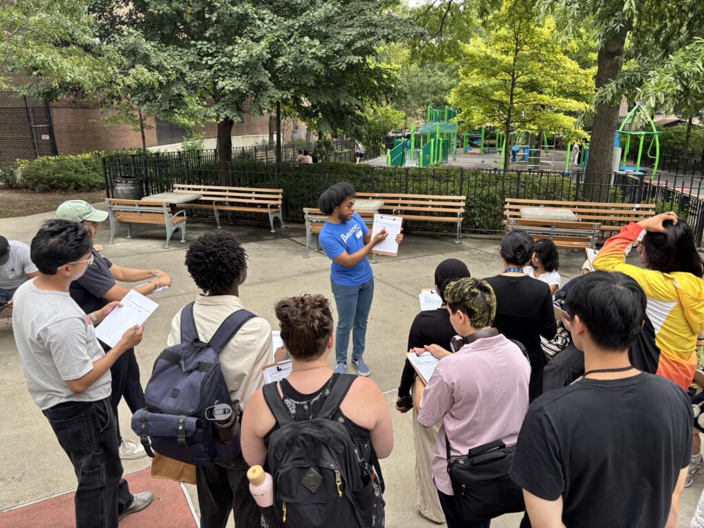
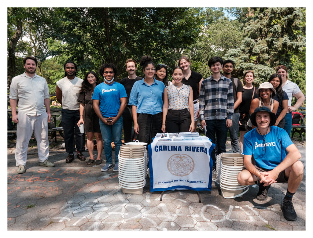
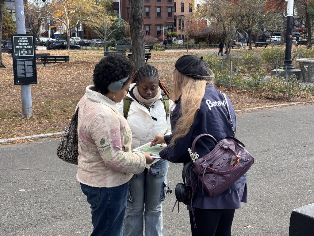
Mapping for Equity (M4E) is a civics and data literacy program that teaches the public how to see data while collecting data on New York City’s under-mapped and under-represented public spaces. Through this project we ask, “How can data make the city work for ALL New Yorkers?”
First, we start data and civic literacy by teaching people how to see data and services in the public spaces we all enjoy. Second, by getting more people to use and contribute to open data resources like OpenStreetMap (OSM)—we capture critical information about our communities anyone can use to engage, advocate, legislate, and beyond.
The Mapping for Equity project began as a focus project within the Civic Innovation Fellowship, our program dedicated to training the next generation of civic leaders. Through successive cohorts, we publicized our curriculum and event production assets into a toolkit. Our Mapping for Equity toolkit teaches civic and digital literacy, introduces mapping as a concept and tool for civic change, and allows anyone to document their local, public resources. Our goal is to empower anyone to do this work in their own spaces, and use what they find to advocate for more equal open spaces for all.
CUNY Spotlights Mapping for Equity
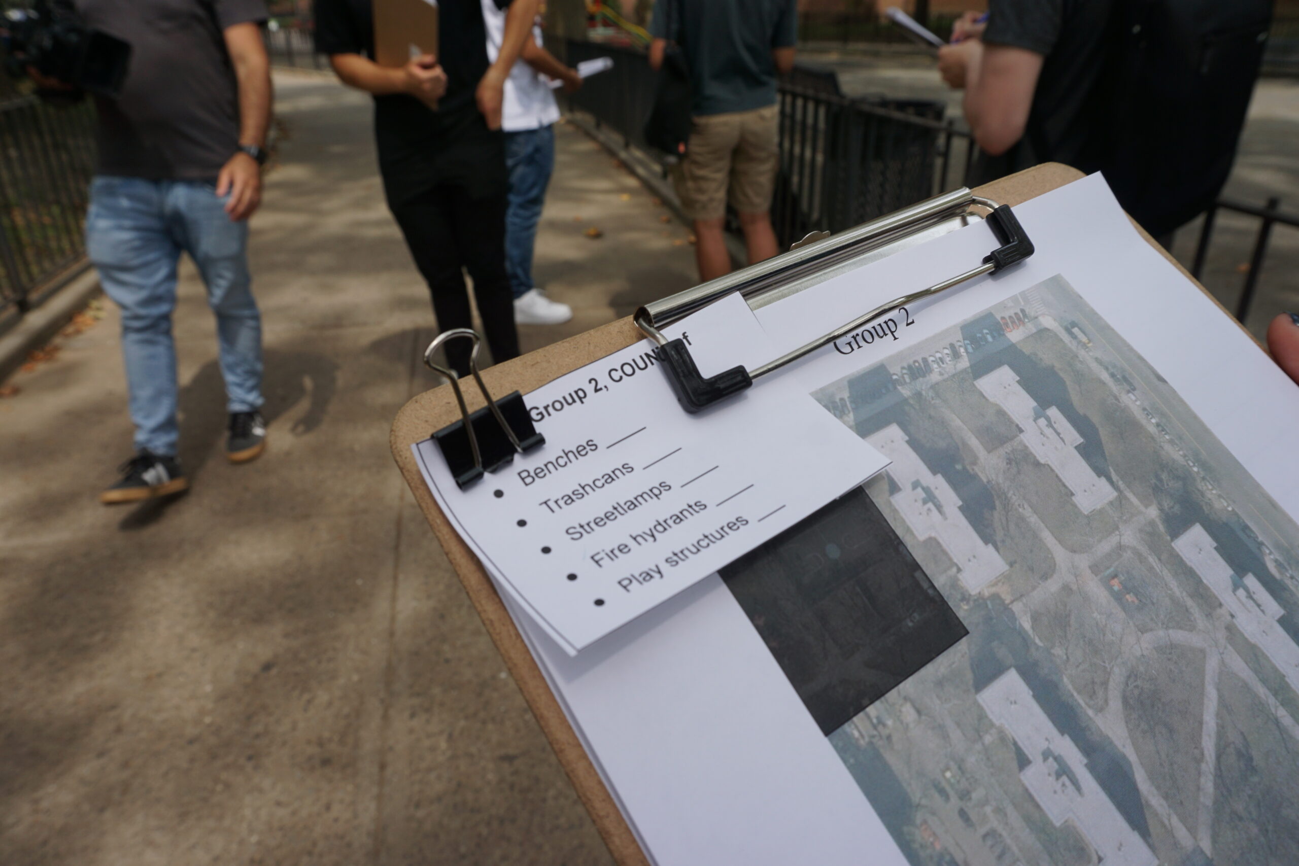
Since 2023, we have mapped over 9,245 public amenities!
We began from our now-completed pilot mapping Brooklyn Community District 1, which encompasses parts of Council Districts 34 and 33. We have since mapped public amenities across New York City, in partnership with civic and community leaders.
This includes
- 2,203 Benches
- 1,550 Lighting features (lampposts, streetlights)
- 404 Play and youth structures (including 37 accessible play & youth structures)
- 6 miles of paths, sidewalks, and ramps
- 5,088 water fountains, gardens, bike racks, public restrooms and more!
and accounts for 91 open spaces*.
*Here, we define open spaces as any distinct, publicly available space within which public amenities are found.
Events & Press
2025
- Murray Hill Neighborhood Association – Mapping for Equity at St. Vartan Park with BetaNYC
- Laurelton.nyc by DIVAS for Social Justice – Why Understanding Data Matters
- A Midyear Update on Mapping for Equity – Scaling Impact: What’s Next for the Civic Innovation Fellowship and Mapping for Equity
- Roadtrip Nation meets Mapping for Equity – Breaking Barriers | Tech For Us
- Reflecting on State of the Map 2025 – Treading the Course: Reflections on Mapping, Belonging, and the Magic of State of the Map US
- Mapping for Equity at John Ericsson Middle School – Introducing our Mapping For Equity S.T.E.A.M. Challenge with John Ericsson Middle School 126!
2024
- Mapping at the McCarren Park Fall Clean-Up – McCarren Park Stewardship – Cleaning & Mapping!
- Summer 2024 Discotech & Mapping Showcase – Community DiscoTech
- Open Data Week 2024 Mapping Event – 2024 Spring Mapping for Equity Events Re-cap
- CUNY TV – CUNY Stories April 2024 | Urban U
- The PIT UNiverse Newsletter
2023
- Summer 2023 Mapping Showcase
- Summer 2023 Workshop at Friends Seminary – Mapping Progress
- Open Data Week 2023 Mapping Event – A map of NYC’s park benches could help save them, thanks to these CUNY students – Gothamist