Overview
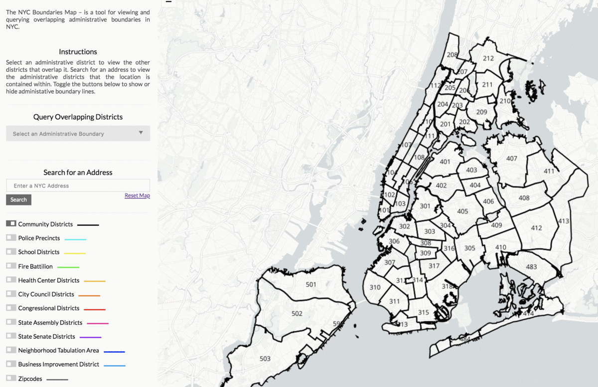
The NYC Boundaries Map – is a tool for viewing and querying overlapping administrative boundaries in NYC.
- Type of Service: Map
- License: GNU General Public License (GPL)
- Status: Beta
- Client: N/A
- Data sources:
– Bytes of the Big Apple
– NYC Open Data portal for shape files of administrative boundaries - Contact: erik@beta.nyc
Tool Description
Challenge
Various governmental bodies at the city, state, and federal level divide NYC’s geography in a different way. In order to know who to collaborate with around issues in their district, those representing the districts within this governmental body need to know which districts of other governmental boundaries overlap with their own district. For instance, community boards may want to know which council districts overlap with their community district in order to know which council members to call when their district faces a pressing issue. A council member running on a platform of school reform will need to know which school districts overlap with their council district.
Besides, understanding how administrative boundaries overlap is important for interpreting open city datasets and summarizing information across multiple geographies. Sometimes, within open city datasets, values are reported at a district level. For instance, DSNY reports the monthly tonnage of waste collected for each sanitation district in NYC. In order to get a sense of how much waste is collected within a community district, an analyst would need to better understand how community districts overlap with sanitation districts. In this particular example, community districts share the same boundaries as sanitation districts, so it is possible to know how much waste is collected per community district. However, when districts do not share the same boundaries, it becomes much more difficult to know how much of the value to allocate to each overlapping boundary. Boundaries Map helps users visualize this issue.
Solution
The NYC Boundaries Map is built to help staff identify the various electeds and agencies covering all corners of New York City, such as where police precincts or school districts overlay community districts, and which elected officials overlap a given school district.
Impacts
Facilitates the work of government staff, especially around contacting the appropriate representatives for any given area in the City.
What our client says
A quote from the client
A quote from the client
A quote from the client
A quote from the client
A quote from the client
Client’s name – Organization
(Below are items on the template without existing content)
A quote from the client
Date Published